|
Linear feet of trails in cityParks and Recreation |
Description
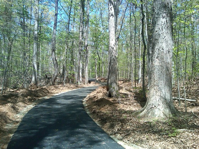
This measure shows the progress in developing a city-wide connected system of off road trails. It includes nature trails as well as multi-use (bike and walk) trails. Charlottesville has a trail plan and this measure helps track how quickly we are getting permission from private property owners to extend the system according to the plan, as well as tracking construction of new trails. The City is also gradually assuming management of the Rivanna Trail Foundation’s system of trails as property owners sign permanent permissions with the City rather than existing temporary permissions with the non-profit RTF.
Analysis
Trails are a highly desired recreation and transportation amenity for City residents. With the hiring of a park and trail planner in 2006, this effort has gained momentum and completion of the City’s planned trail system is underway. After the system is completely built, funding for development of trails can be shifted towards maintenance and upgrades to the much larger system of trails than is currently available.